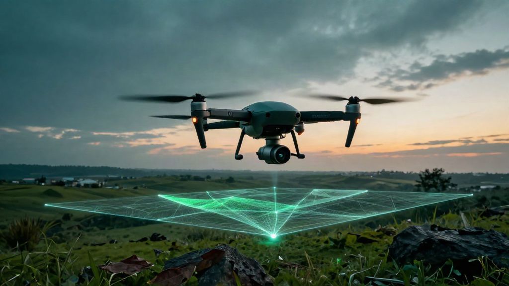
What 3D LiDAR is, in one definition
LiDAR stands for Light Detection and Ranging: the sensor emits laser pulses and measures how long the light takes to come back after reflecting off surfaces. From that time it derives a distance; knowing the instrument's orientation, every measurement becomes a point with its three real coordinates. Multiplied by the millions, those points form the point cloud: the geometry of the world as measured, not as drawn.
The «3D» in the name is not a marketing flourish: the data is three-dimensional by construction, one point at a time. That is why LiDAR is the natural starting point for two pipelines: mapping (point cloud → DTM/DSM → contour lines → territorial databases), which leads to our GIS & mapping service, and as-built modelling (point cloud → BIM model of the existing asset), which leads to scan-to-BIM.
How it works: from the pulse to the point cloud
The pulse and time of flight
Professional sensors emit hundreds of thousands of pulses per second: a reference handheld SLAM system declares 300,000 points per second with a 100-metre range (GeoSLAM ZEB Horizon, distributor datasheets, 2026). Every return also carries an intensity value, which helps distinguish the surfaces it hit — metal, vegetation, wall.
Orientation and georeferencing
A distance, on its own, is not data: you need orientation. In terrestrial surveys the scanner's individual stations are aligned with one another (registration); on drones and vehicles the trajectory is reconstructed with GNSS RTK/PPK and an IMU. Only then does the point cloud enter a declared reference frame: ETRF2000 (RDN2008) or ETRS89, Gauss-Boaga or UTM zones. A point cloud without a reference frame is a beautiful, unusable object — the first requirement to put in writing on every job.
The three platforms: terrestrial, drone and mobile
Terrestrial (TLS)
The tripod-mounted scanner is the high-accuracy platform: in controlled conditions professional-grade instruments reach millimetric tolerances over short distances — the Leica RTC360 scanner declares 1.9 mm 3D point accuracy at 10 metres (Leica Geosystems). It is the realm of architectural and industrial as-built work, interiors, fine detail.
Drone (UAV)
The drone takes LiDAR where a tripod cannot go: slopes, quarries, power lines, woodland, large sites. Industry benchmarks quote typical vertical accuracy of ±3–5 cm, up to ±2 cm with RTK correction, and densities between 50 and 1,000 points per square metre (Market.us, "LiDAR Market", July 2026). A reference commercial sensor declares 4 cm vertical and 5 cm horizontal at 150 metres — but in laboratory conditions (DJI Zenmuse L2 datasheet). These are industry values, not delivery specifications: the accuracy of your survey is defined by the instruments, distances and ground control of your specific job.
Mobile mapping
A sensor on a vehicle or carried in hand, built for corridors: roads, urban centres, tunnels, complex interiors. SLAM systems work even where GPS cannot reach, reconstructing the trajectory from the geometry of the environment itself.
What accuracy to expect, and under which conditions
A tolerance is not a number: it is a number with its conditions. What moves it is well known — instrument and calibration, measurement distance, point density, ground control, classification and post-processing. Two practical rules always hold. First, be suspicious of accuracy quoted without measurement conditions; the honest phrasing is "under standard operating conditions". Second, millimetric accuracy belongs to terrestrial scanning in a controlled environment — as a promise for a drone, never.
Then there is the last mile: the accuracy that really matters is the one of the final product. For a BIM model, verification is the deviation report comparing the model against the point cloud, element by element; for mapping, it is the tolerance required by the client's specification. The point cloud is the input: quality is proven downstream.
What you actually receive
A complete LiDAR delivery includes: the registered, georeferenced point cloud, in standard formats (E57, LAS/LAZ); the DTM/DSM surface models; contour lines; where needed 3D meshes and georeferenced orthophotos; the accuracy report with the campaign metadata. One honest caveat on wooded areas: penetration below the canopy is partial — in dense forest the ground density drops and the DTM requires expert classification. Whoever promises a "100% clean DTM under the canopy" is selling something physics does not always deliver.
What it is used for, case by case
Mapping and GIS: the DTM in vegetated areas is the classic case where LiDAR beats photogrammetry; from there, contour lines and updates to territorial databases. As-built: the point cloud is the input to scan-to-BIM. Volumes: quarries, landfills and sites are computed between two campaigns. Heritage: historic buildings documented for restoration (HBIM). Infrastructure: power lines and railways monitored for safety clearances.
The market confirms the direction: the drone LiDAR segment is estimated to grow from USD 264.5 million (2025) to about USD 1.38 billion by 2034, a 20.1% annual growth rate (Fortune Business Insights, 2026); construction and infrastructure account for about 29% of it (Mordor Intelligence, 2025 data). It grows where the demand for surveys grows — not a fad, a pipeline.
LiDAR or photogrammetry?
LiDAR carries its own light: it does not depend on illumination, it measures surfaces without texture, it partly filters through vegetation. Photogrammetry returns continuous colour and photorealistic detail, but needs light and texture and struggles over dense woodland. For a DTM in forested areas the balance tilts towards LiDAR; for a photorealistic model of a façade, towards photogrammetry. Often the right answer is a combination of the two — and in every case the decisive question stays the same: who interprets the data and returns the product you need.
Flights in order: the part you cannot improvise
If the platform is a drone, the survey is also an aviation operation. The European framework (Implementing Regulation EU 2019/947 and Delegated Regulation EU 2019/945) distinguishes operational categories; in the Open category you fly at most 120 metres above ground and only within visual line of sight (VLOS), and operator registration on D-Flight is mandatory for any UAS of 250 grams or more, or fitted with a sensor and camera (ENAC). No-fly zones and UNESCO historic centres — Rome, Venice, Florence — carry specific restrictions. If you commission the work, you can — and should — ask for: the operator registration number, the operational category, the liability insurance. The right questions to put in a specification are listed in our post on drone LiDAR surveys for municipalities.
In short
3D LiDAR is measurement with light: pulses, return times, a point cloud. The technology is half the job — the other half is the downstream pipeline that turns the point cloud into maps, BIM models, digital twins. So the best choice is not "whoever owns the instrument", but whoever covers the entire chain: one provider from survey to model. That is how we work on our LiDAR & 3D service page.