Which municipal jobs suit the drone survey
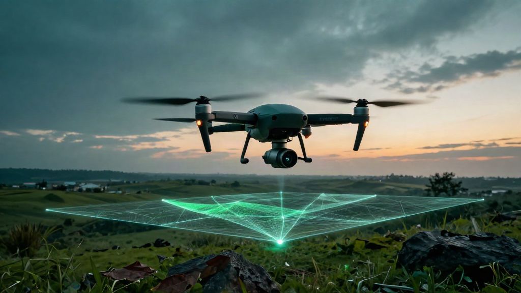
A drone carrying a LiDAR sensor covers in a few hours areas that would take days on foot, and laser — unlike photography alone — partially penetrates vegetation: that is why it is the standard tool for territorial surveying. The five most common cases for a local authority are: updating the base map and street inventory, monitoring slopes and landslide-prone areas with digital terrain models, computing quarry and earthwork volumes, documenting buildings and heritage, and surveying power lines and infrastructure corridors. The market confirms the direction: the drone LiDAR segment grows from USD 264.54 million (2025) to USD 1.38 billion (2034), at a 20.1% annual rate (Fortune Business Insights, 2026), with construction and infrastructure as its leading application segment — about 29% of the market in 2025 (Mordor Intelligence, 2026).
An honest caveat, which we repeat in every proposal: where woodland is dense, ground point density drops and the terrain model needs expert classification — promising a "clean DTM under full canopy" is not serious. And for cadastral update deeds, drone LiDAR does not automatically replace the official topographic measurement: admissibility must be checked case by case with whoever drafts the deed.
What to require as deliverables
Raw data is not enough: a serious specification asks for the finished products and the documents that make them defensible. The table below lists the minimum a technical office should receive — and what each item is for.
| Deliverable | Format | What the authority uses it for |
|---|
| Georeferenced point cloud | .las / .laz / .e57 | Measurable archive of the existing state, reusable for every future project |
|---|
| DTM and DSM models | GeoTIFF | Slopes, landslide risk, design levels |
|---|
| Contours and orthophoto | vector + georeferenced raster | Updating the municipal cartography and street inventory |
|---|
| Accuracy report and flight metadata | signed document | Evidences the measurement conditions: without it, the data is not defensible |
|---|
| Declared reference system | ETRF2000 / ETRS89 | Without it, the data overlays no existing database |
|---|
Two requirements are non-negotiable. First: formats must be open and reusable — a point cloud delivered only in a proprietary format ties the authority to one platform for years. Second: accuracy must be declared with its measurement conditions (flight altitude, RTK fix or ground control points) and documented in the report. Typical market values for drone LiDAR are around ±3–5 cm, down to ±2 cm with RTK correction (Market.us, 2026): these are sector benchmarks, not one provider's specifications — beware of anyone promising "millimetric" accuracy from a drone without showing a real measurement report. The strength of a complete chain is that the same point cloud feeds everything else: our GIS mapping production updates the authority's databases, and our scan-to-BIM survey turns the cloud into the as-built model of public buildings.
Flights, permits and insurance: what to check
Drone flights are regulated at European level (EU Implementing Regulation 2019/947), with national authorities such as Italy's ENAC handling operator registration. Most standard surveys fall in the Open category: visual line of sight up to 120 metres altitude, kept clear of uninvolved people, with pilot competency certificates and mandatory insurance. More complex flights (beyond visual line of sight, above 120 metres, in restricted zones) fall in the Specific category and require an operational authorisation with a risk assessment. And mind the no-fly areas: red zones, airport areas and historic centres under restrictions cannot be overflown without the relevant authorisations.
For a commissioning authority, the check is simple and belongs in writing: registered operator, declared operational category, active insurance, a flight plan verified against the zones. A compliant operator has no difficulty producing them.
Five questions before signing
Whether you are procuring a slope survey or updating half the municipal cartography, these five questions separate a serious provider from one selling files:
- Accuracy with measurement conditions: what deviation is declared, at which flight altitude, with which ground control — and where is the report evidencing it?
- Open formats: .las/.laz/.e57 for the cloud, GeoTIFF for the models — or proprietary formats tying you to one platform?
- Flight compliance: registered operator, declared category, active insurance, flight plan verified against the zones?
- Data reuse: does the same cloud feed GIS mapping and building models, or will you pay for a new survey with every project?
- Continuity: who keeps the data current between interventions — a named contact or a quote to redo every time?
In short
For a municipality or a public body, a drone LiDAR survey is not a technology purchase: it is the fastest way to gain a measurable base of your own land — roads, slopes, quarries, buildings — reusable for every later project. The comparison to make is not the flight's price but the cost of working without current data. Our LiDAR survey service starts from where you are — a single area to document or a whole territory to update — and delivers open, documented data ready for GIS and BIM.
Request a trial survey →