Two technologies, one chain
LiDAR scanning: measuring with light
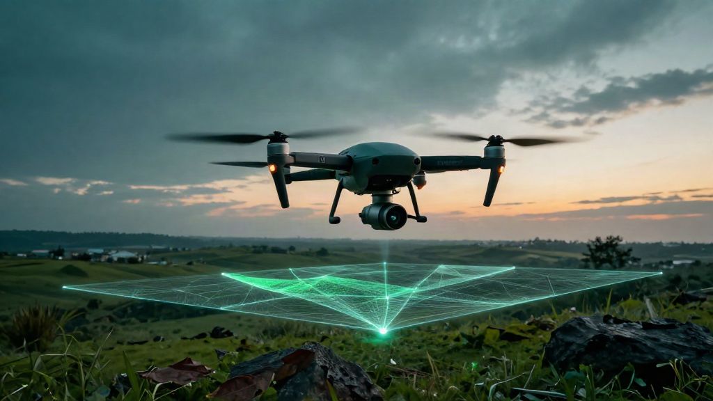
LiDAR (Light Detection and Ranging) emits laser pulses and measures how long they take to return to the sensor. Millions of measurements become a point cloud: a set of georeferenced coordinates describing ground, buildings, vegetation and surfaces. Platforms differ and are chosen by scale: terrestrial scanners (TLS) for the detail of a single building, drone/UAV for larger areas, mobile mapping for corridors and roads. The advantage over photogrammetry is well known: laser partially penetrates vegetation and produces a dense cloud where light alone is not enough — which is why it is the standard tool for territorial surveying.
Digital twins: a model that stays current
A digital twin is the three-dimensional representation of a building or an area, linked to real data and kept aligned over time. You start from an existing BIM model or from a new survey; where systems are present, BMS/IoT data is connected through standard protocols (BACnet, Modbus, KNX). The difference from a traditional as-built is continuity: a delivered model ages the day after handover, whereas a twin updated at an agreed frequency remains a working tool.
Why engineering firms care
For a practice, the two tools answer two practical needs. LiDAR shortens field time and produces reusable data: the same point cloud feeds the survey, the GIS mapping and the as-built model, so a campaign does not have to be repeated for every commission. The digital twin belongs in refurbishment and management projects: it lets a team judge a building's real condition on a measurable basis rather than on outdated documentation. The market points the same way: global estimates for digital twins rise from USD 21.14 bn (2025) to USD 149.81 bn (2030), a 47.9% CAGR (MarketsandMarkets, 2025); for buildings alone, from USD 3.2 bn (2024) to USD 10.1 bn (2030) (Strategic Market Research, 2024).
Why public bodies care
For a public authority the issue is estate management. Anyone responsible for schools, offices or infrastructure needs to know what they hold, in what condition, and at what cost. A georeferenced point cloud documents the existing state defensibly; a digital twin links those spaces to assets, works and documents in a single source of truth. Regulation reinforces this: in Italy the new Public Procurement Code requires digital information management for public works above the threshold (€2 million since 2025, under Legislative Decree 209/2024), while at EU level the EPBD directive 2024/1275 pushes towards building digitalisation. Suppliers that deliver 3D data in open formats (IFC, .las/.laz, .e57) fit into that chain without locking a client to one platform.
Where they meet
There is one chain: LiDAR produces the point cloud, the point cloud produces the as-built model, and the model becomes a digital twin, updated over time. When every stage sits in the same hands, no information is lost at handover. That is where the difference lies between a supplier who hands over a file and one who hands over a working tool.
What to check before choosing a supplier
Three concrete questions. On a survey: does the stated accuracy come with its measurement conditions, documented in a report? Are the formats open and reusable, or tied to a single platform? On the twin: who keeps it updated, at what frequency, and how is every change shown to be recorded?
In short
LiDAR and digital twins are not separate worlds: they are two stages of the same chain, from terrain to a living model. For engineering firms and public bodies, the question is not whether they will need them, but whether they will be ready.